Displaying survey items
All test points and rectifiers are automatically displayed on the map, as long as they have valid latitude and longitude.
To view an item, simply tap on the icon of the item on the map. The information view will appear. Tapping on the information view, will bring you to the 'View' screen.
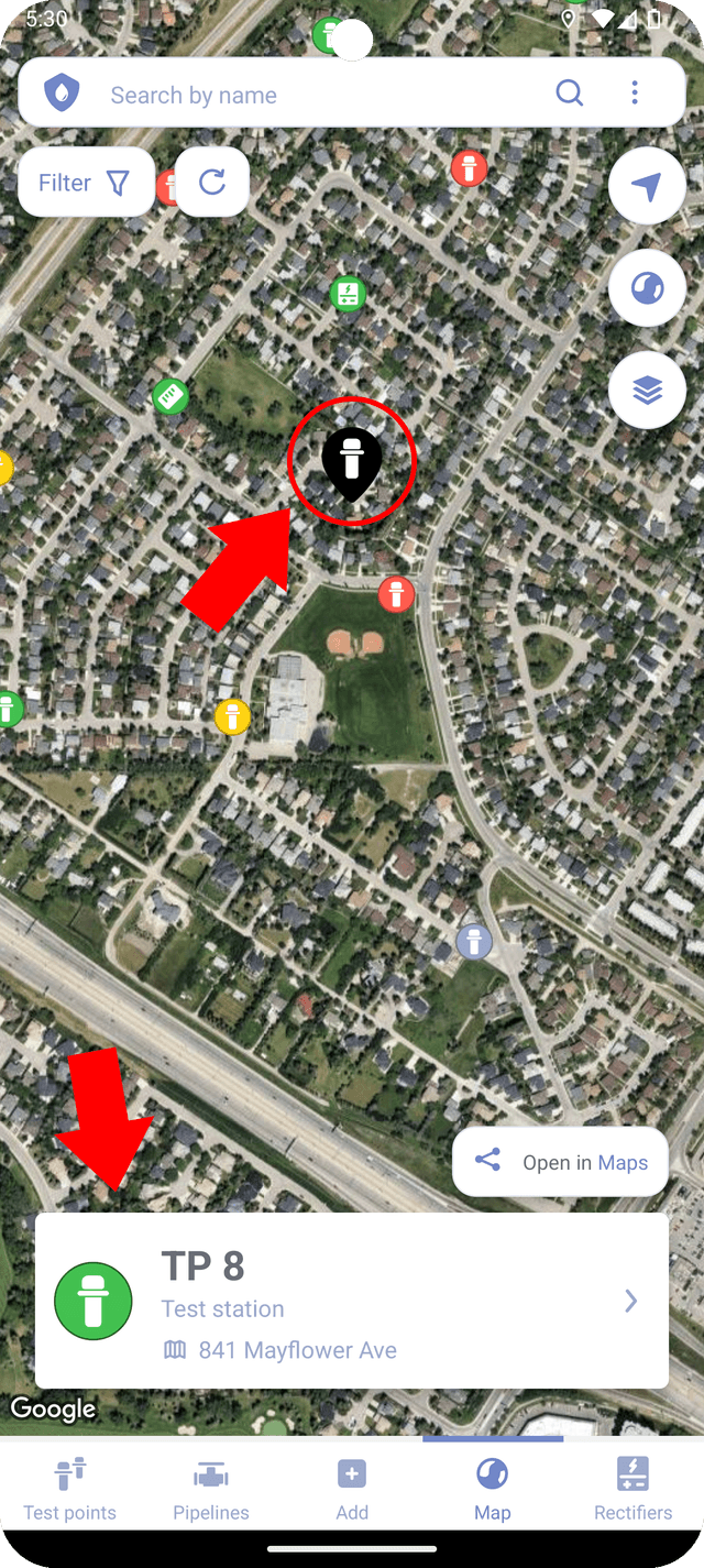
Additionally, you can tap on "Open in Maps" button to export the coordinates of the item to a third-party app for navigation or to share with other users.
Updating coordinates
The map markers in Corpad can be moved by drag-and-drop. To activate the feature, long press on the marker and move it to a new location. This will automatically update latitude and longitude of the item (test point or rectifier) in the database.
A long press on the modal view will trigger the map to zoom in to the selected marker.