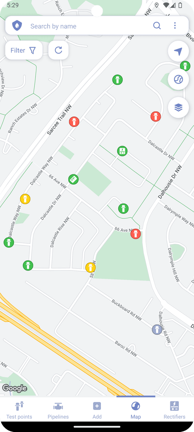
Corpad DocsContactContact (opens in a new tab)
(opens in a new tab)
  • Creating surveys
  • Survey items
    • Test points
      • Creating test points
      • Creating test point readings
      • Creating potentials
      • Potential settings
    • Rectifiers
      • Creating rectifers
      • Creating rectifier readings
    • Pipelines
    • Reference cells
  • Managing surveys
    • Displaying survey items
    • Survey overview
    • Default names
    • Saving surveys
    • Opening surveys
  • Map
    • Displaying survey items
    • Creating items
    • Map layers
    • Other features
  • Export
    • Survey files
    • Spreadsheet
    • Exported files
  • Import
  • Corrosion calculator
  • Bluetooth multimeter
    • Supported multimeters
    • Connecting a multimeter
    • Collecting data
    • Measuring and plotting
    • Settings
  • Labels
    • Writing to NFC tags
    • Creating QR codes
    • Reading label data
    • Supported NFC tags
    • NFC tag errors
    • Order NFC tags

  • FAQs
Map

Map

Corpad enables users to view survey items with coordinates on the map. While the map feature does require internet access, it may also be cached and available offline, depending on available storage and phone settings.

With Corpad, users can easily access test point and rectifier view screens, create new items, search for items on the map by name, and add layers from .kml, .gpx, .kmz and .geojson files.

Add
Opening surveysDisplaying survey items

Corpad, 2024. Created by Andrei Lomtev